


14,8 km | 25 km-effort

Benutzer


Kostenlosegpshiking-Anwendung
 SityTrail
IGN / Geografische Institute
SityTrail World
Die Welt öffnet sich für Sie
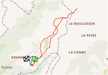
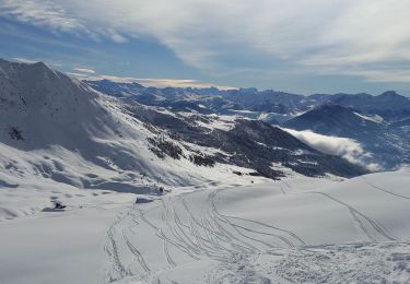
Tour Wandern von 16,1 km verfügbar auf Auvergne-Rhone-Alpen, Savoyen, La Léchère. Diese Tour wird von GuyVachet vorgeschlagen.
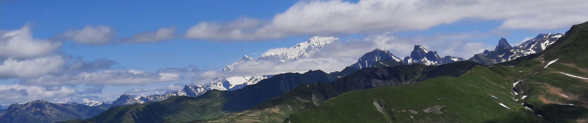
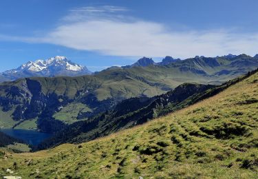
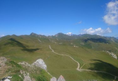
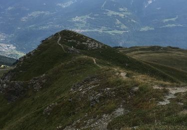
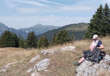
Montée au refuge du Nant du Beurre par un mixte de chemin empierré et de sentier et terminer par le sentier balcon pour passer au milieu des rhododendrons. Montée au Grand Crétet pour mieux apprécier le paysage laissé derrière nous puis enchainer la "descente" au Col des Tufs Blancs. Et juste au-dessus de ce col, vue s'ouvre sur la Vanoise de Péclet-Polset, en passant par les glaciers et la Grande Casse. Poursuite jusqu'au Col des Génisses avec le Mont-Blanc en ligne de mire pour ressentir le Beaufortain. Retour plus tranquille par le refuge puis revenir au point de départ, le parking de Tovet.


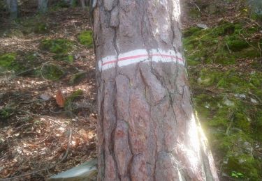
Wandern

Wandern
Wandern
Wandern
Wandern
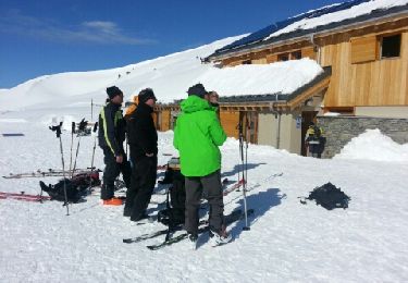
Schneeschuhwandern
Wandern
Schneeschuhwandern

Mountainbike